
The question
The article releases the raw GPS data collected on cruise passengers in Palermo in 2014 and proposes a procedure for cleaning them of errors and gaps, in order to support comparison between methods for analysing tourist mobility.
The method
Data paper: GPS tracks recorded about every 10 seconds with Globalsat DG-200 loggers handed to independent cruise passengers (about 1 in 20 of those disembarking, pseudo-systematic sampling) from 15 to 30 April 2014, plus initial and final questionnaires; 162 trajectories published. Pre-processing in Python with dynamic moving medians and IQR thresholds to detect and impute spatial and temporal outliers.
What the study finds
- Participants were recruited by approaching roughly one in every twenty disembarking passengers on every cruise call day in the second half of April 2014.
- On average 15% of points per track were spatial outliers and 15% temporal outliers, showing that raw GPS data need systematic cleaning.
From the study's figures
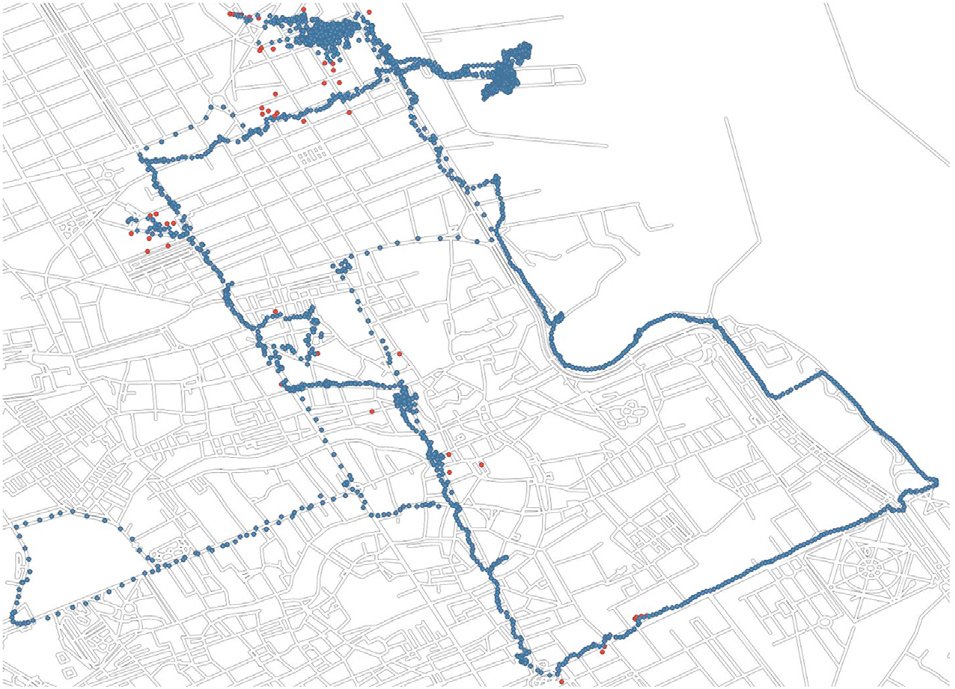
Figure from Ferrante, M.; Perri, A.; De Cantis, S. et al. (2025), CC BY 4.0 licence.
It provides open data on the actual movements of cruise passengers in a Mediterranean port city, so authorities and researchers can compare methods and indicators on a common basis. The descriptive statistics point to stays of a few hours, mostly within a few kilometres of the starting point.
Limitations
Data collected only in April 2014 and in a single city, limited to independent passengers and to a single GPS model; the cleaning does not use map matching and the mode of transport was not recorded.
Ferrante, M., Perri, A., De Cantis, S., Birenboim, A., Shoval, N. (2025). Raw and pre-processed cruise passengers’ GPS tracking datasets. Data in Brief 63 (2025) 112078 (Elsevier).
Summary written by the ODYBOAT Observatory in our own words. Tables and figures belong to the authors.